File:Galactic Map Year 12.jpg

Size of this preview: 623 × 600 pixels. Other resolutions: 249 × 240 pixels | 1,022 × 984 pixels.
Original file (1,022 × 984 pixels, file size: 315 KB, MIME type: image/jpeg)
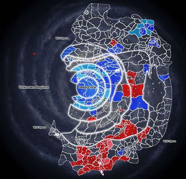
A map depicting the ongoing Galactic Civil War circa Year 12. The Imperial Union's territory is in blue, and the Galactic Alliance in red.
File history
Click on a date/time to view the file as it appeared at that time.
| Date/Time | Thumbnail | Dimensions | User | Comment | |
|---|---|---|---|---|---|
| current | 15:24, 6 May 2012 | | 1,022 × 984 (315 KB) | Rupert Havok (talk | contribs) | A map depicting the ongoing Galactic Civil War circa Year 12. The Imperial Union's territory is in blue, and the Galactic Alliance in red. |
- You cannot overwrite this file.
File usage
The following 2 files are duplicates of this file (more details):